


ZIP code
ZIP 94544
Part of Hayward, CA, covering parts of Fairway Park, Harder/Tennyson, Hayward Highland and 5 more.
Loading map…
Neighborhoods in ZIP 94544
- Fairway Park
- Harder/Tennyson
- Hayward Highland
- Jackson Triangle
- Mission Foothills
- Mission/Garin
- Tennyson/Alquire
- Whitman/Mocine
Some neighborhood footprints are approximate, so their overlap with this ZIP area is too.
Cities in ZIP 94544
Nearby places
Places near ZIP 94544
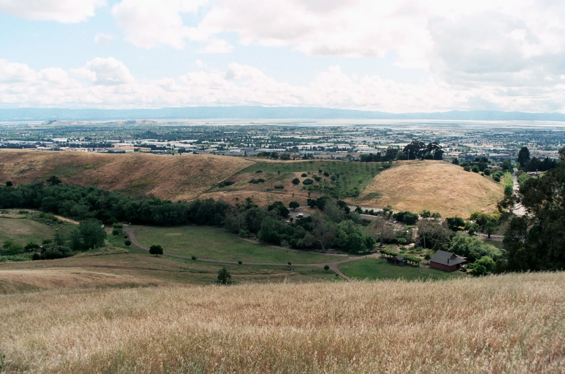 Garin Regional ParkGarin Regional Park offers rolling hills, open grassland, and traces of ranch history above Hayward.
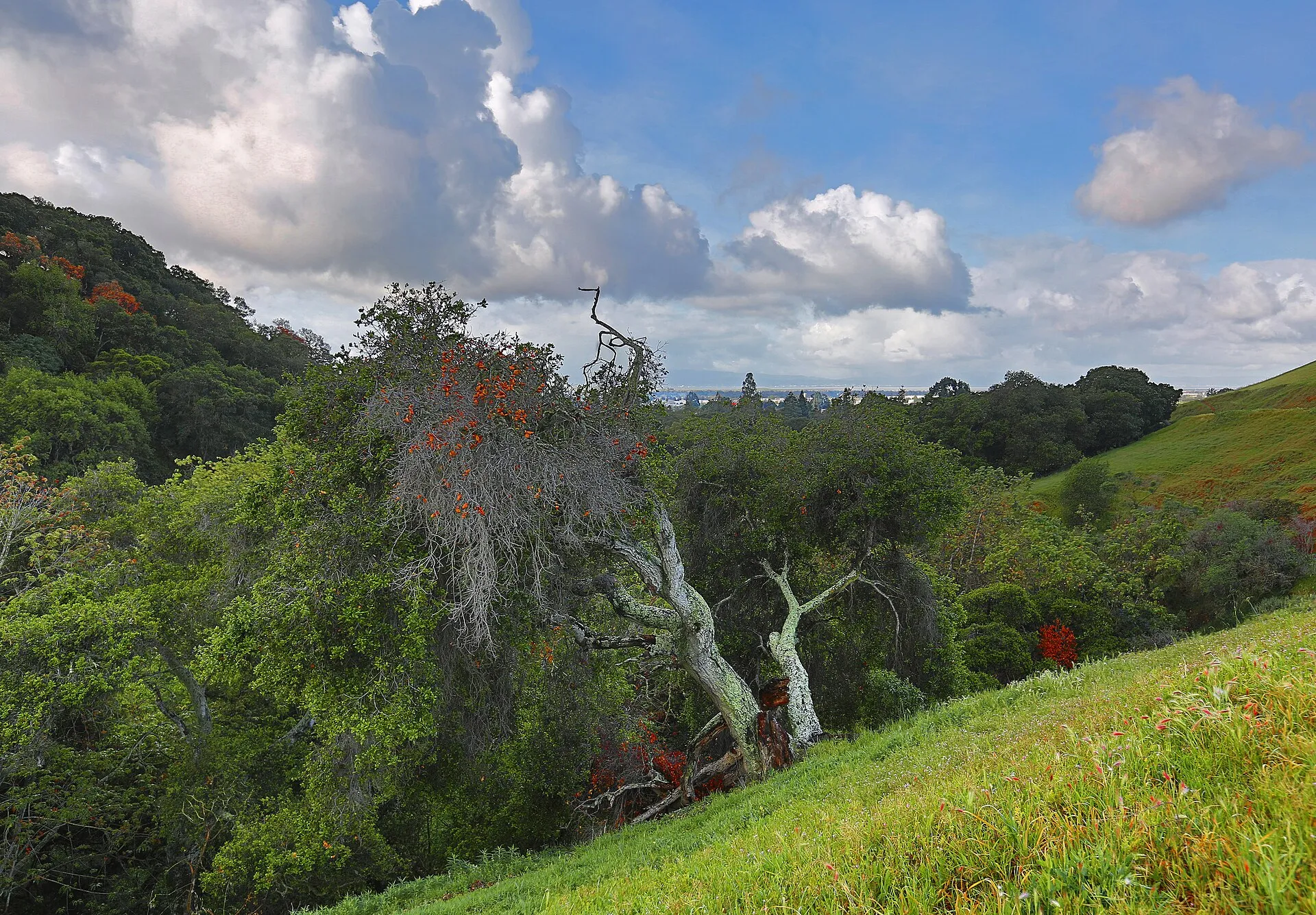 Dry Creek Pioneer Regional ParkDry Creek Pioneer Regional Park near Union City protects former ranchland, rolling hills and open-space trails.
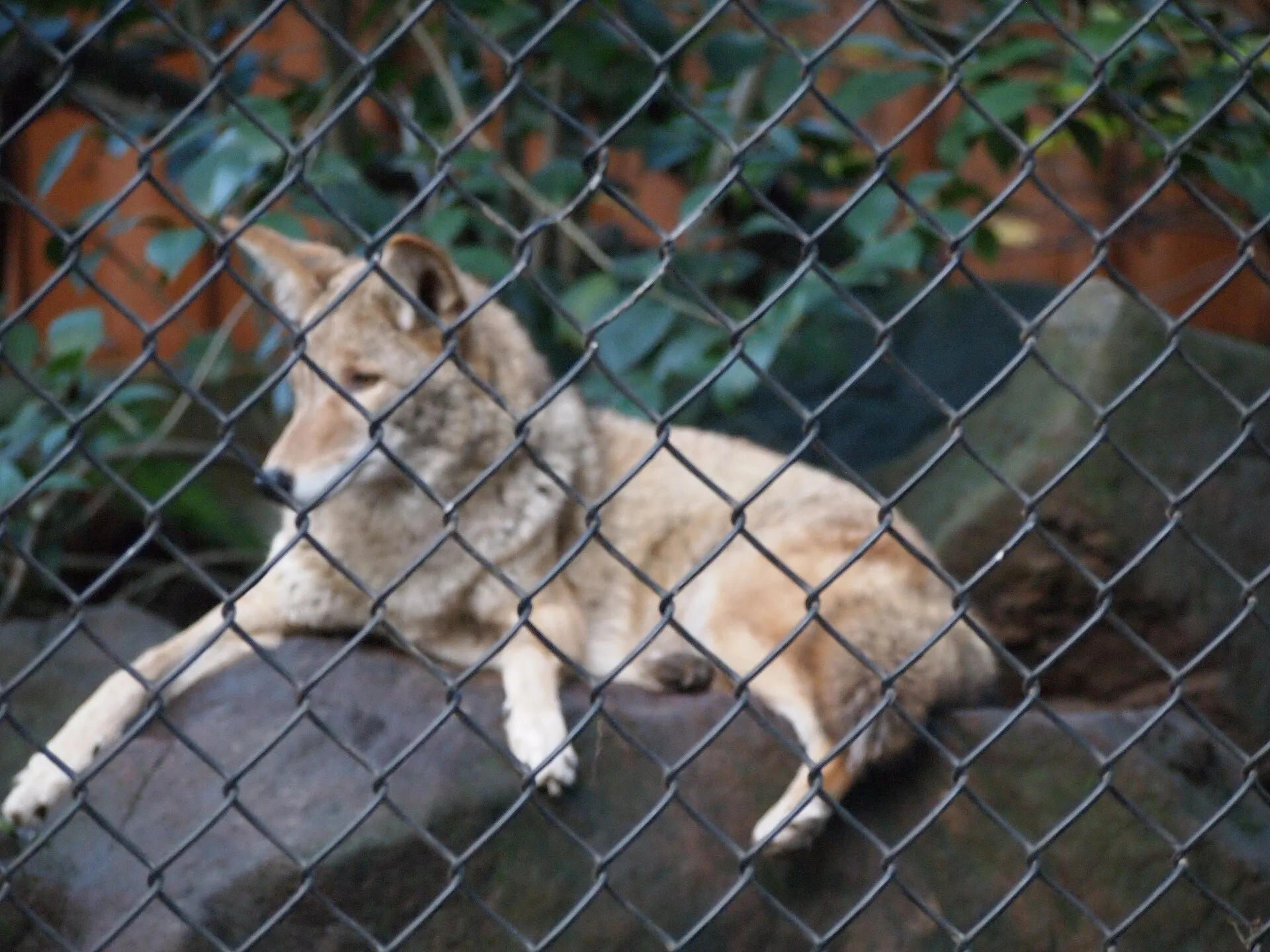 Sulphur Creek Nature CenterSulphur Creek Nature Center introduces native wildlife and environmental education in the Hayward hills.
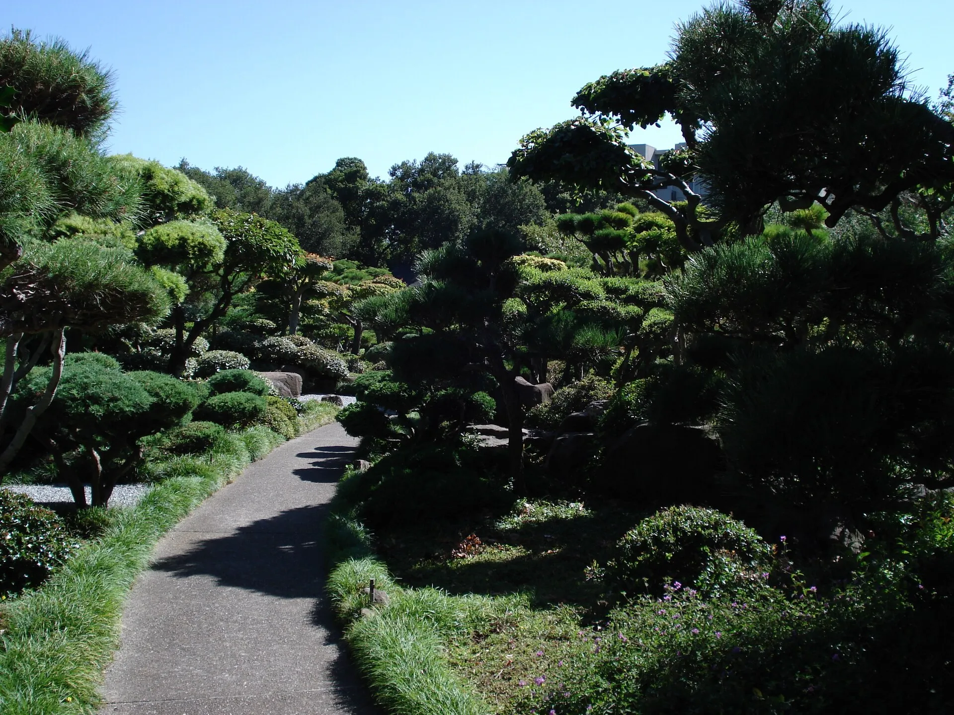 Hayward Japanese GardensHayward’s Japanese Gardens provide a landscaped garden visit beside the senior center on North Third Street.
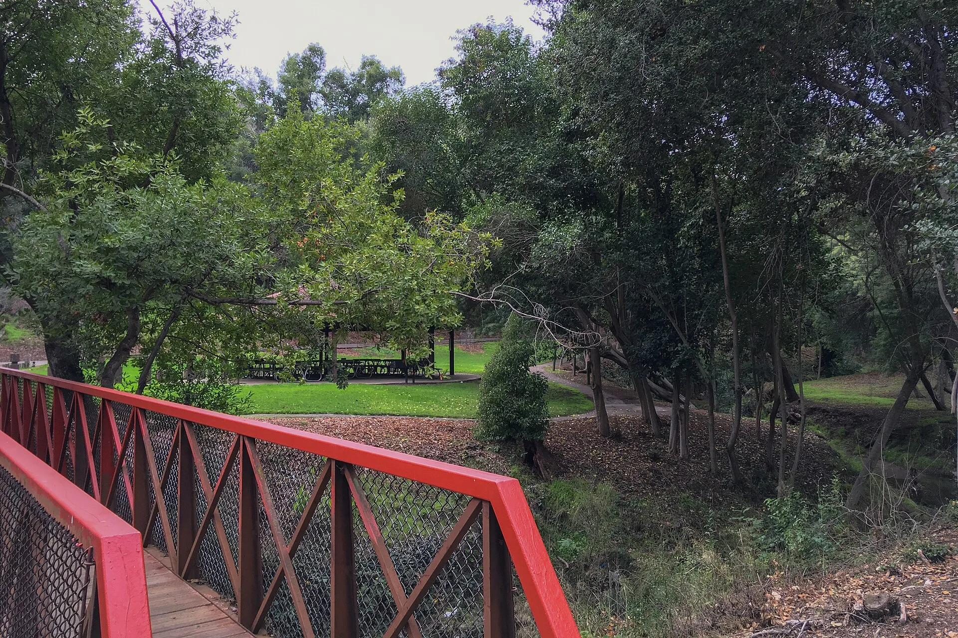 Carlos Bee ParkCarlos Bee Park provides a tree-lined recreation space in Castro Valley, with picnic areas, play facilities and paths set around a small creek landscape.
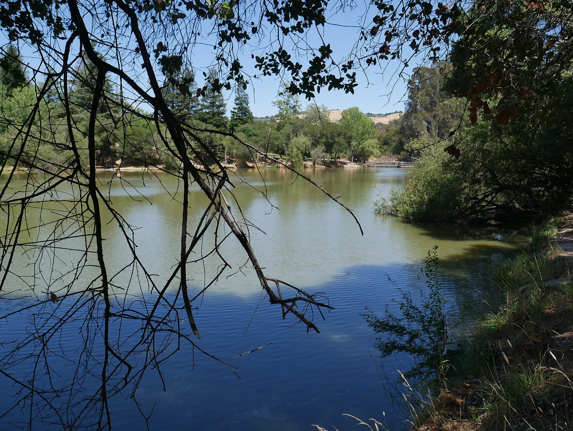 Don Castro Regional Recreation AreaDon Castro Regional Recreation Area provides reservoir scenery, picnic space and trail connections near Fairview and Hayward.
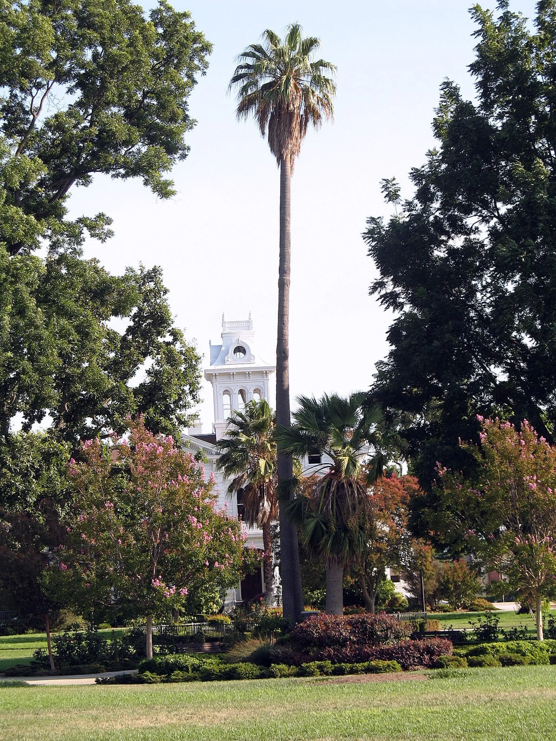 Meek Estate ParkMeek Estate Park surrounds a historic mansion in Cherryland, combining lawns, mature planting and family recreation space.
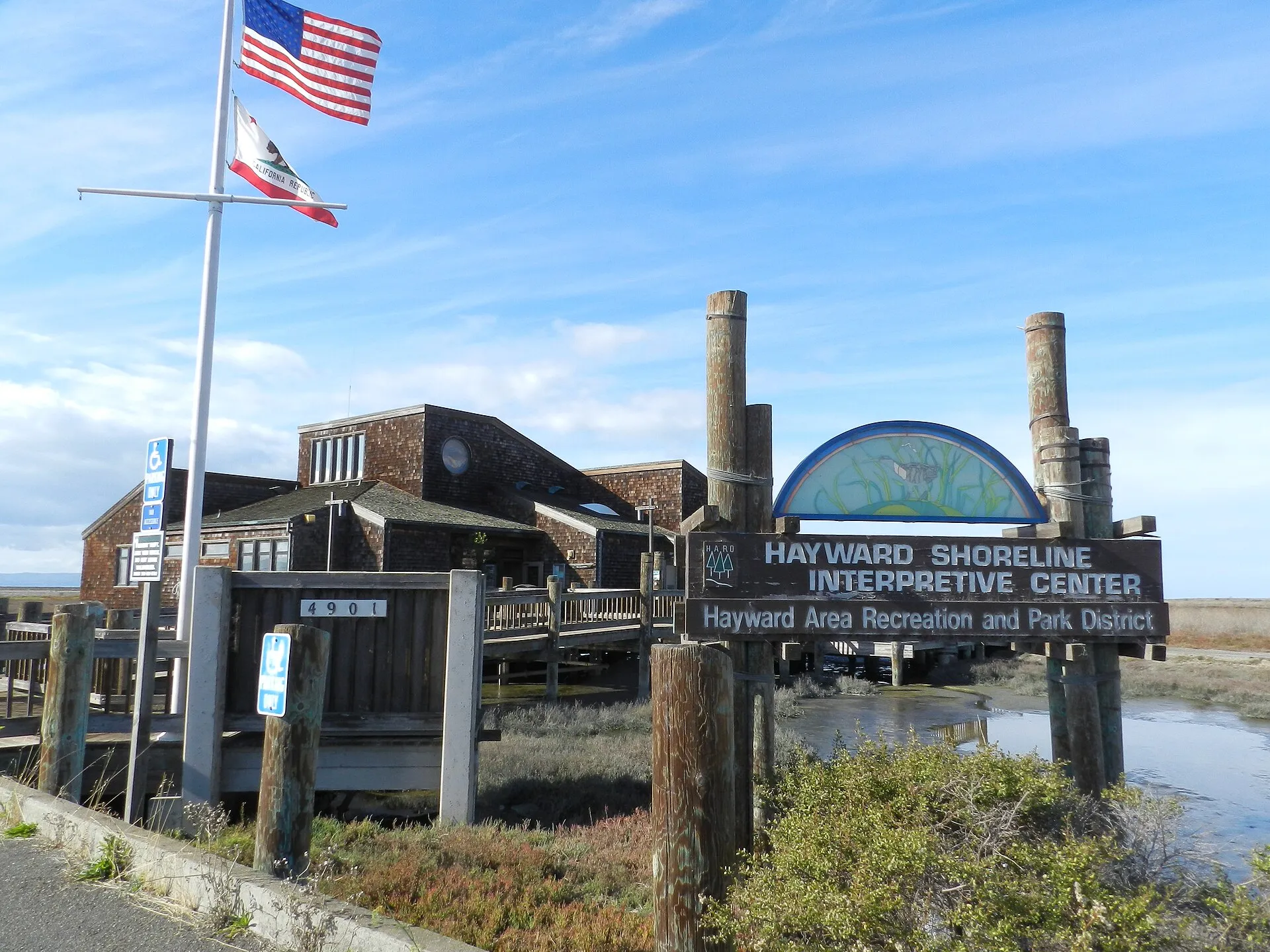 Hayward Shoreline Interpretive CenterHayward Shoreline Interpretive Center provides a starting point for learning about San Francisco Bay's tidal wetlands and shoreline habitats.
Nearby ZIP codes
Sources & data notesReferences, reporting periods, and how to use this information
Information on this page is compiled from multiple sources and provided for general information. It may be incomplete or out of date, and we do not guarantee its accuracy, completeness, or timeliness. Independently verify important details with the original source, relevant authority, or a qualified professional before making decisions.
Statistics keep their reporting periods. Survey estimates are not current asking prices or quotes for an individual property. Displayed values are rounded.
- ZIP boundariesU.S. Census Bureau ZCTAsCensus ZIP Code Tabulation Areas approximate postal delivery areas and may cross city and neighborhood boundaries.
- Neighborhood footprints for ZIP overlapsCity-Defined Neighborhood Dataset v1.0 (CC0)Neighborhood footprints are approximate. Source polygons are combined where needed to calculate overlaps.