


ZIP code
ZIP 94707
Part of Albany, CA, covering parts of Berkeley Hills, Cragmont, Northbrae and South Hampton.
Loading map…
Neighborhoods in ZIP 94707
Some neighborhood footprints are approximate, so their overlap with this ZIP area is too.
Cities in ZIP 94707
Nearby places
Places near ZIP 94707
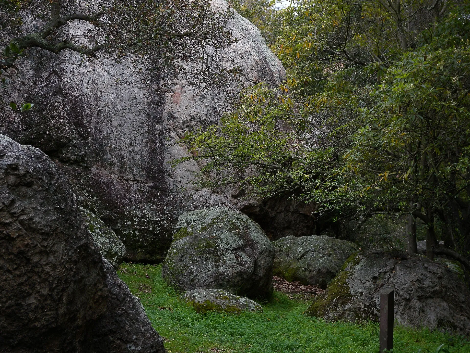 Great Stoneface ParkGreat Stoneface Park combines natural rock outcrops with a quiet neighborhood lawn in Berkeley’s Northbrae area.
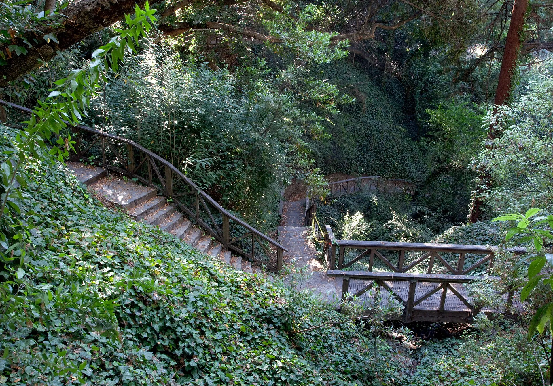 John Hinkel ParkJohn Hinkel Park combines an oak-and-bay hillside grove with a historic outdoor amphitheater in Berkeley.
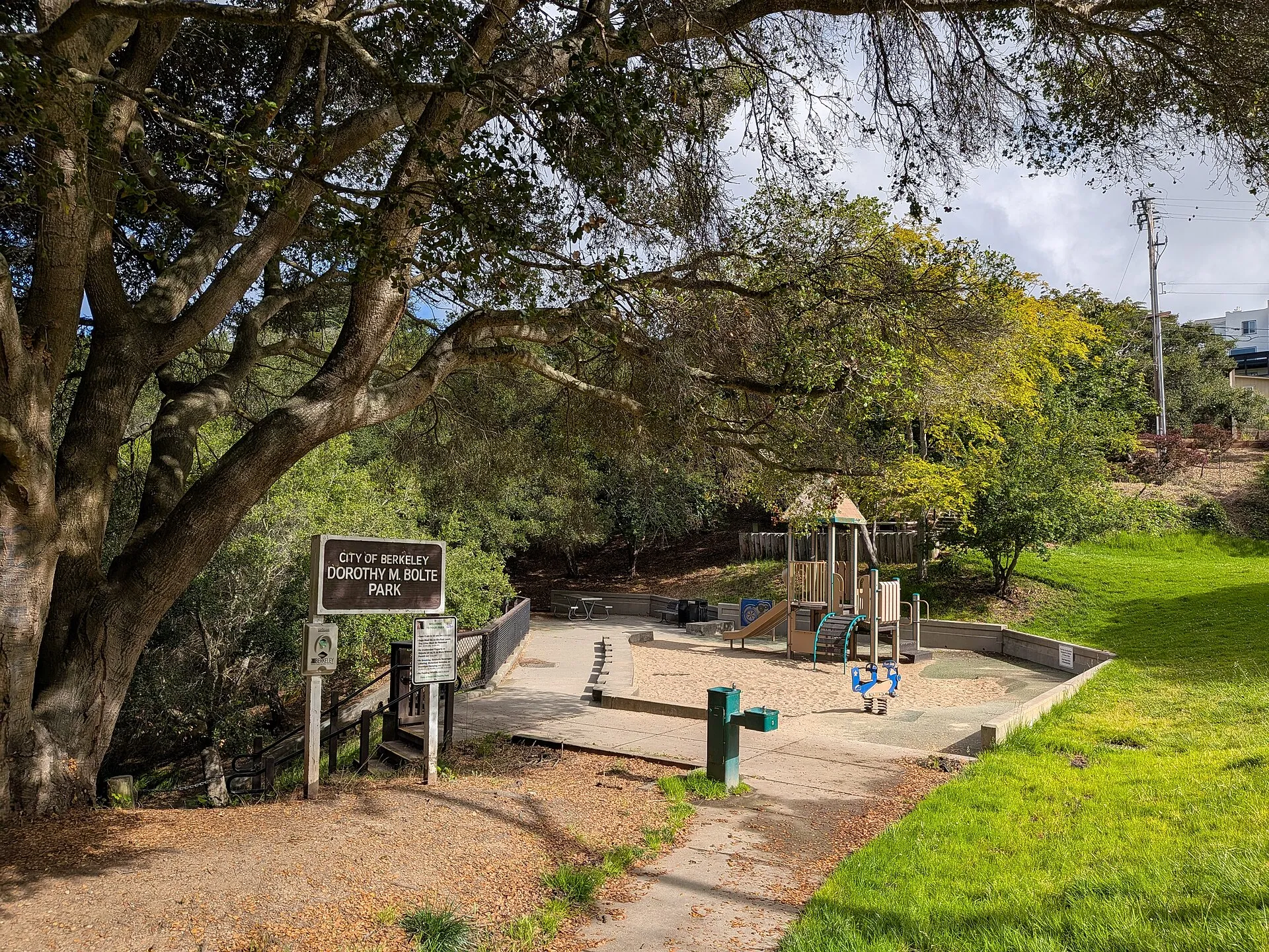 Dorothy Bolte ParkDorothy Bolte Park combines hillside play areas, paths and picnic space in Berkeley.
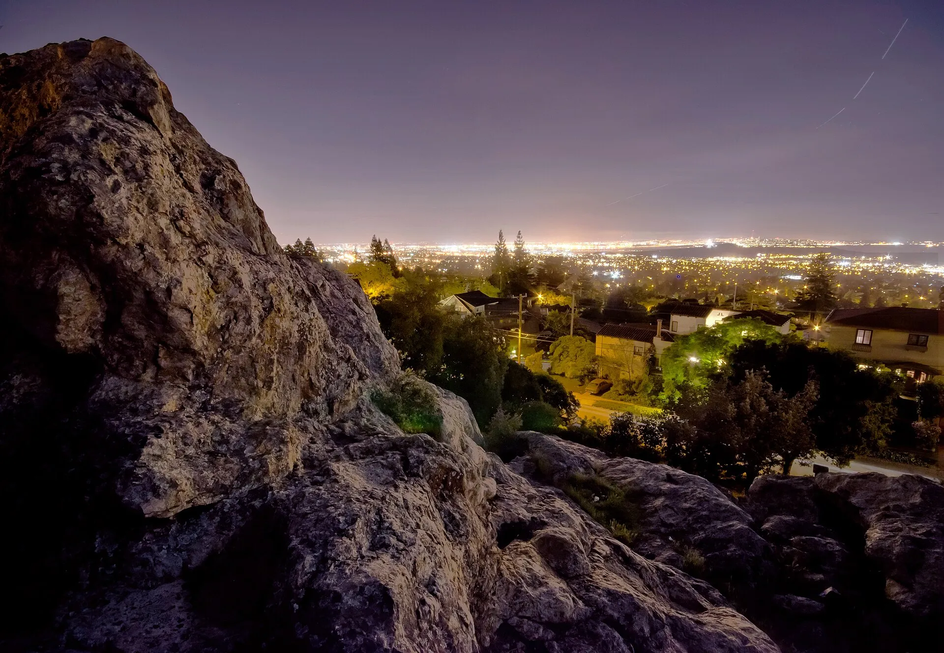 Grotto Rock ParkGrotto Rock Park offers a small hillside rock landscape in Berkeley’s Northbrae neighborhood.
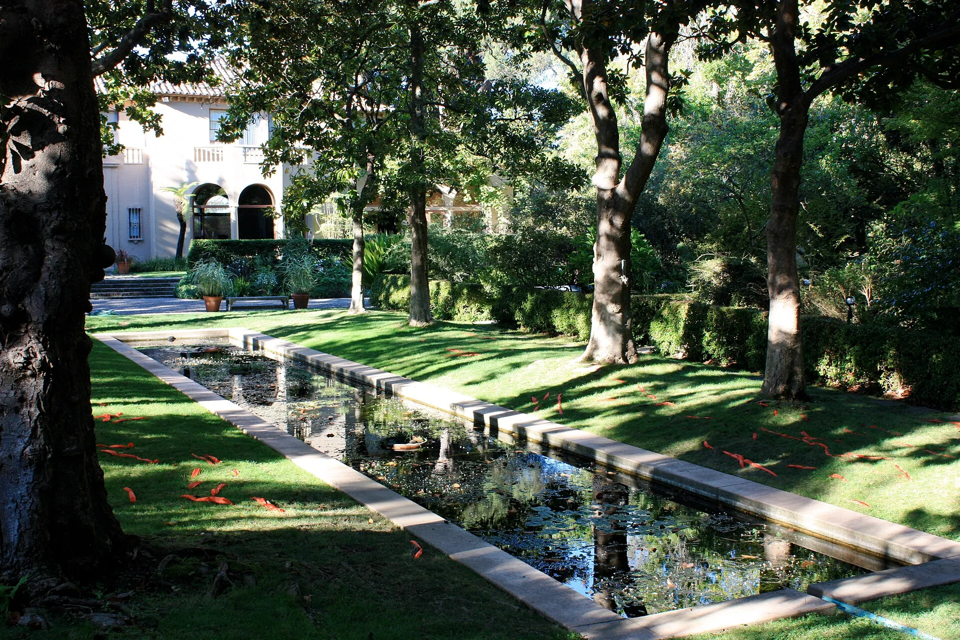 Blake GardenBlake Garden is UC Berkeley’s landscape laboratory in the Kensington hills.
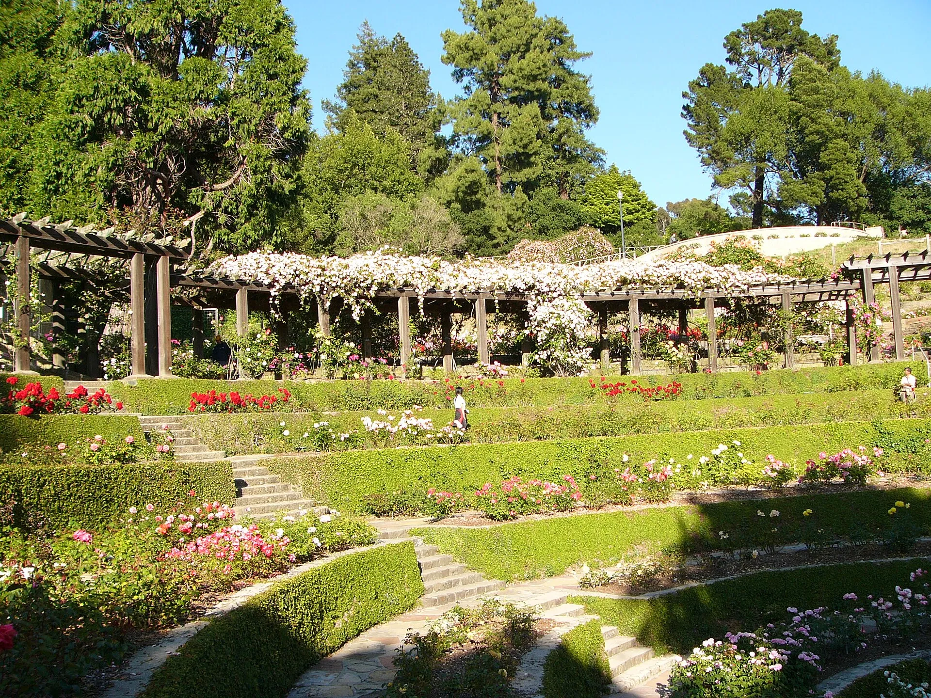 Berkeley Rose GardenBerkeley's municipal rose garden fits a carefully planted landscape into the city's northern hills. Its terraced setting makes it a focused place to enjoy roses and views, distinct from a longer walk through the East Bay's larger regional parks.
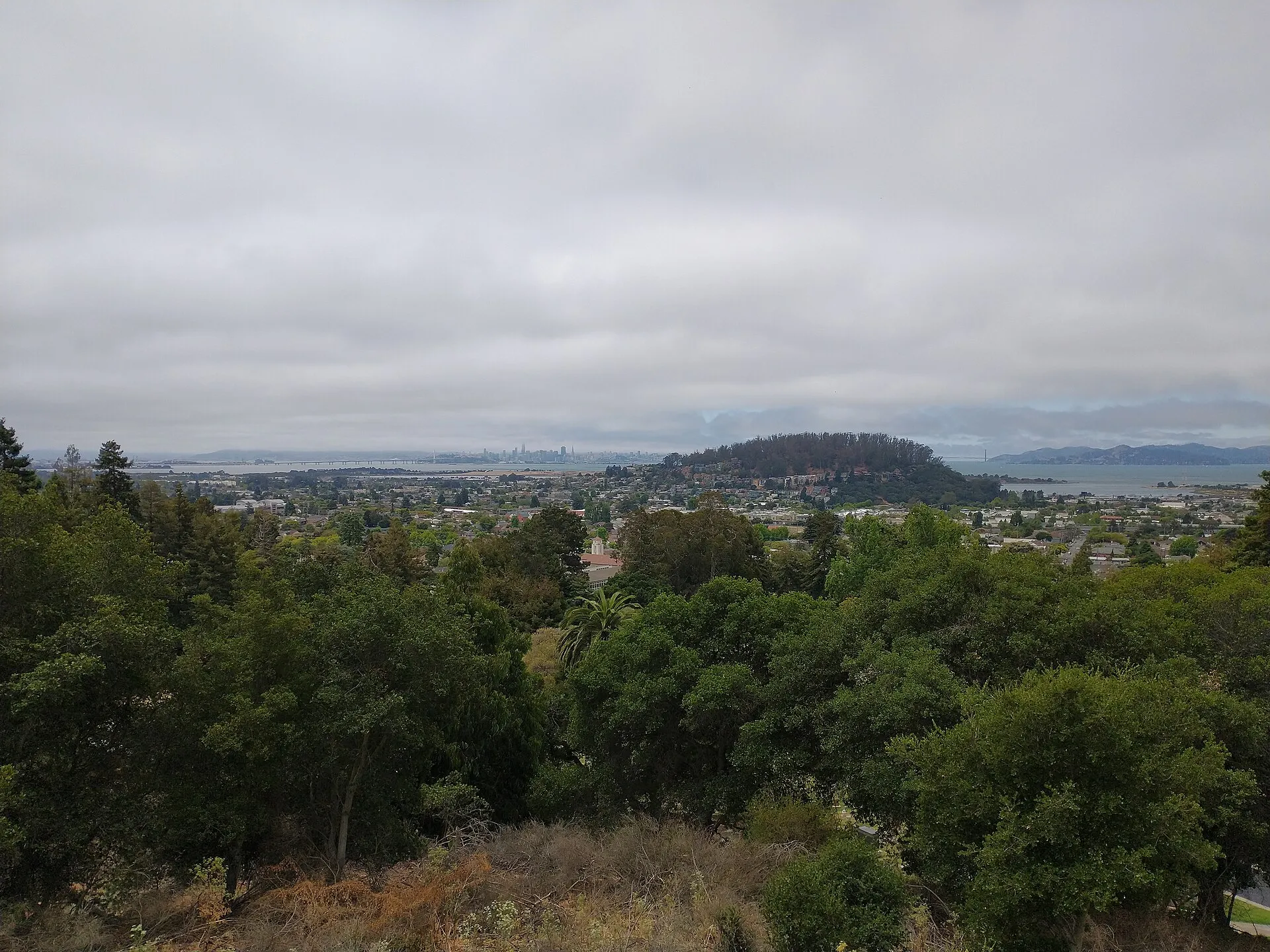 Albany Hill ParkAlbany Hill Park protects a wooded rise above the East Bay shoreline.
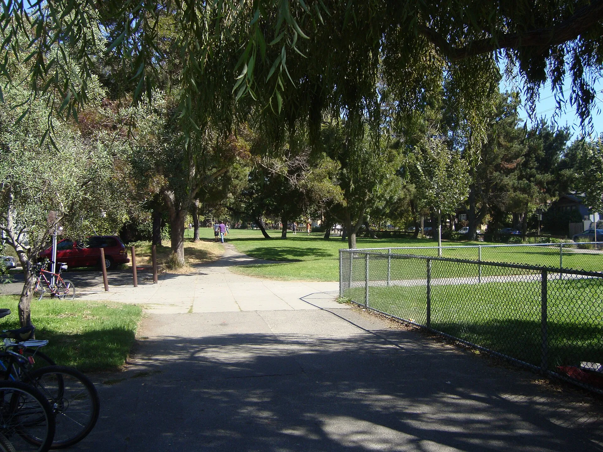 Ohlone ParkOhlone Park forms a long band of public green space along Hearst Avenue in central Berkeley.
Nearby ZIP codes
Sources & data notesReferences, reporting periods, and how to use this information
Information on this page is compiled from multiple sources and provided for general information. It may be incomplete or out of date, and we do not guarantee its accuracy, completeness, or timeliness. Independently verify important details with the original source, relevant authority, or a qualified professional before making decisions.
Statistics keep their reporting periods. Survey estimates are not current asking prices or quotes for an individual property. Displayed values are rounded.
- ZIP boundariesU.S. Census Bureau ZCTAsCensus ZIP Code Tabulation Areas approximate postal delivery areas and may cross city and neighborhood boundaries.
- Neighborhood footprints for ZIP overlapsCity-Defined Neighborhood Dataset v1.0 (CC0)Neighborhood footprints are approximate. Source polygons are combined where needed to calculate overlaps.