


ZIP code
ZIP 94710
Part of Albany, CA, covering parts of Berkeley Marina, Fourth Street, Gilman and 2 more.
Loading map…
Neighborhoods in ZIP 94710
- Berkeley MarinaBerkeley, CA
- Fourth StreetBerkeley, CA
- GilmanBerkeley, CA
- Northwest BerkeleyBerkeley, CA
- West BerkeleyBerkeley, CA
Some neighborhood footprints are approximate, so their overlap with this ZIP area is too.
Cities in ZIP 94710
Nearby places
Places near ZIP 94710
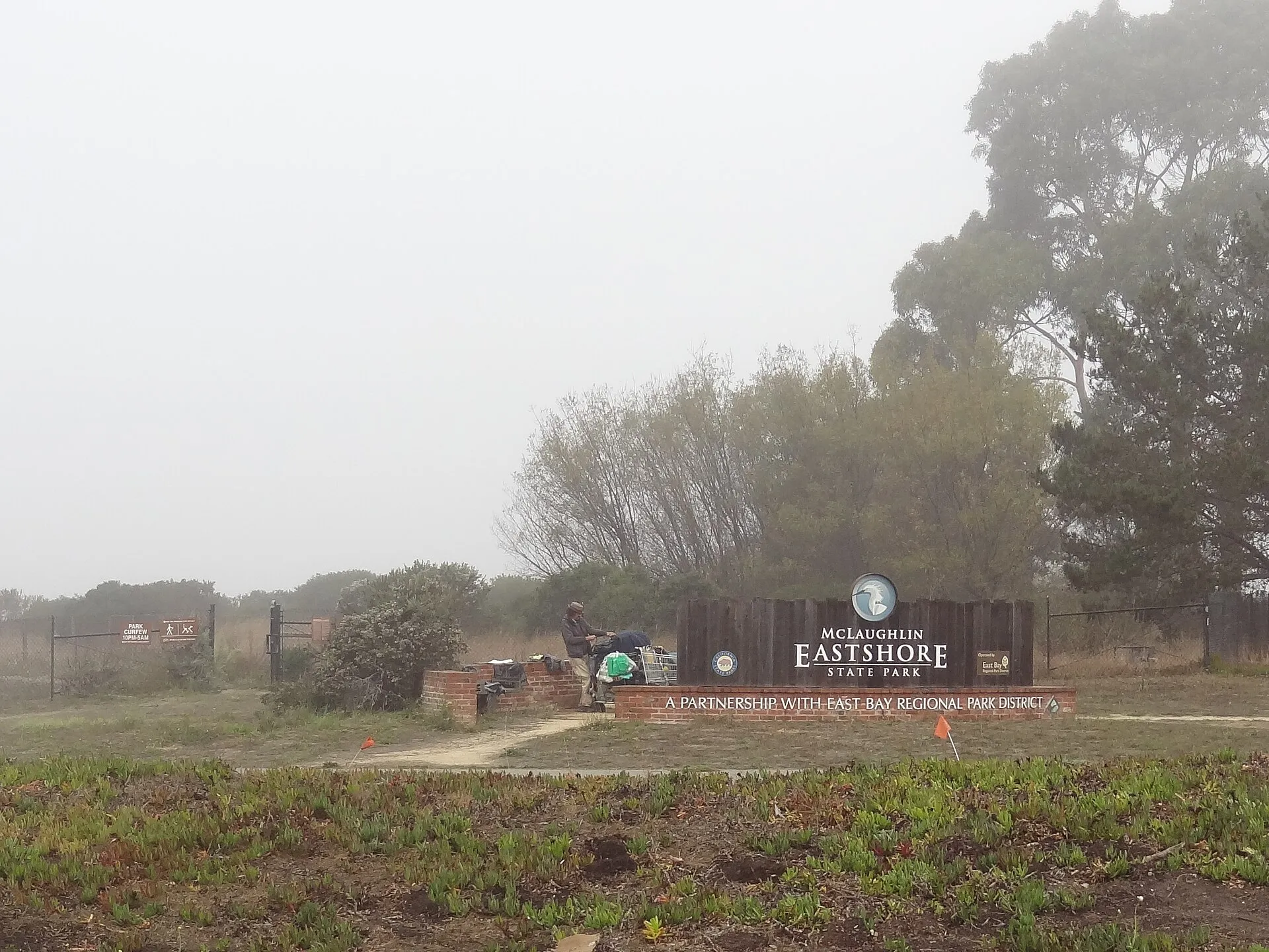 McLaughlin Eastshore State ParkMcLaughlin Eastshore State Park protects a chain of bayfront landscapes along the eastern shore of San Francisco Bay.
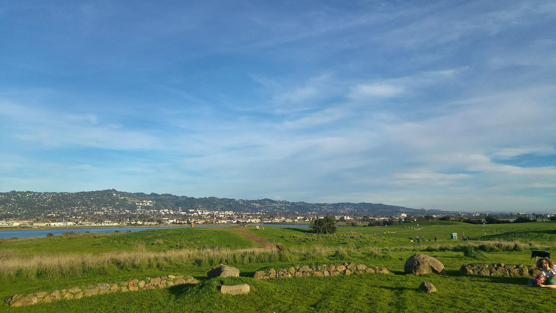 Park at the Berkeley WaterfrontThe Park at the Berkeley Waterfront occupies a peninsula at the marina, with open grassy hills, paved paths and wide views across San Francisco Bay.
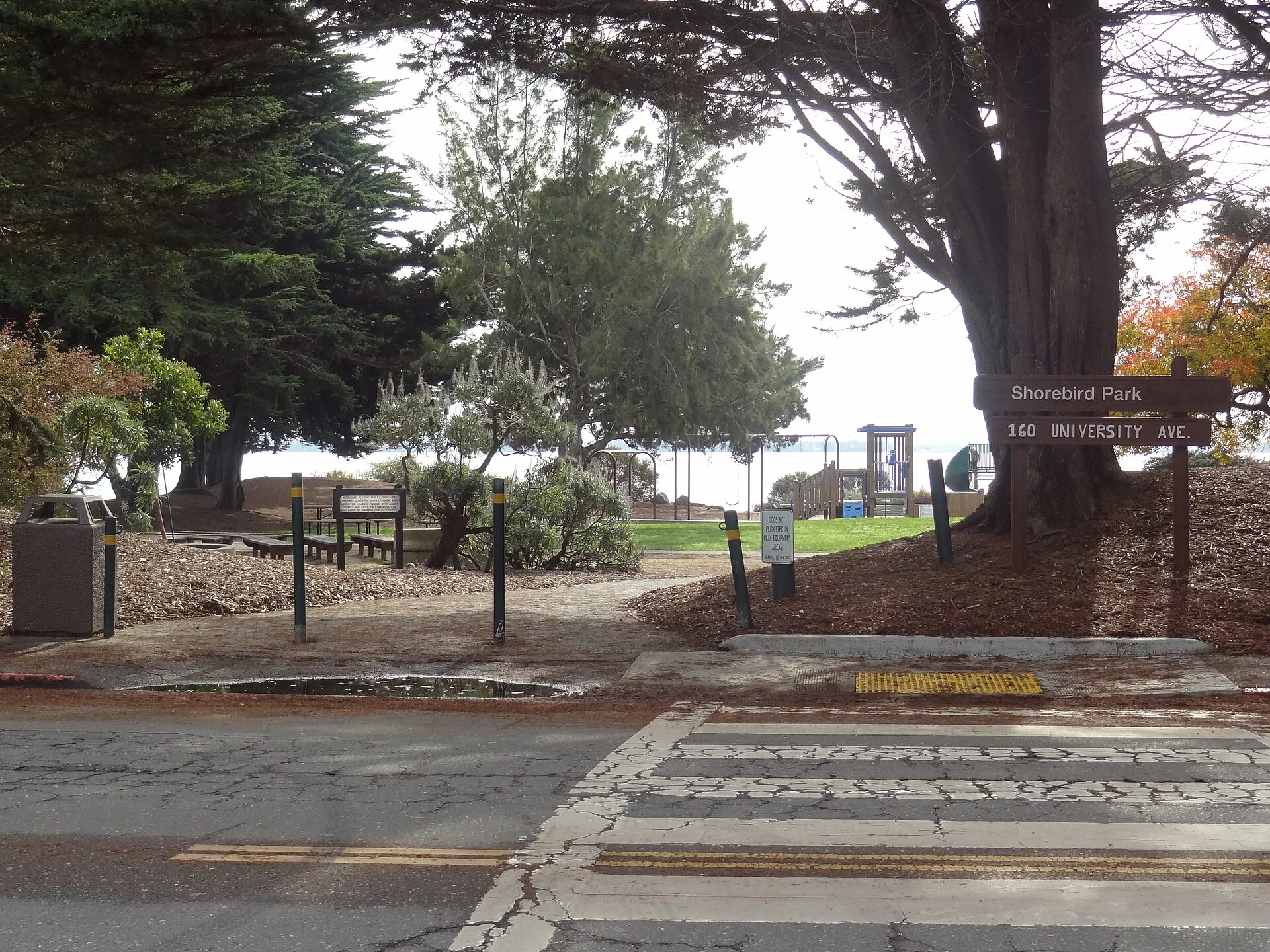 Shorebird ParkShorebird Park provides a family-oriented waterfront space on the southern side of the Berkeley Marina.
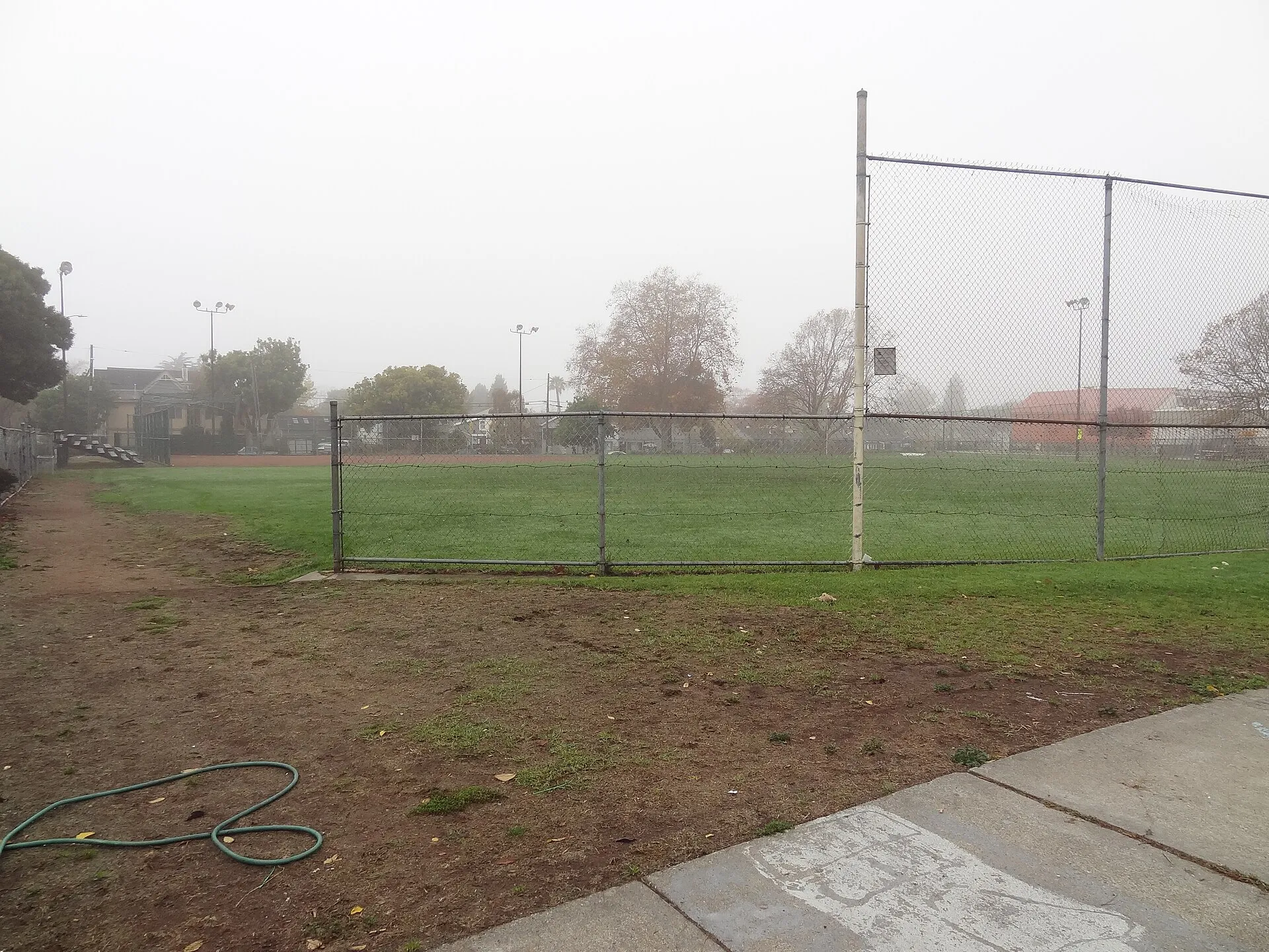 James Kenney ParkJames Kenney Park brings sports facilities, play areas and community recreation together in West Berkeley.
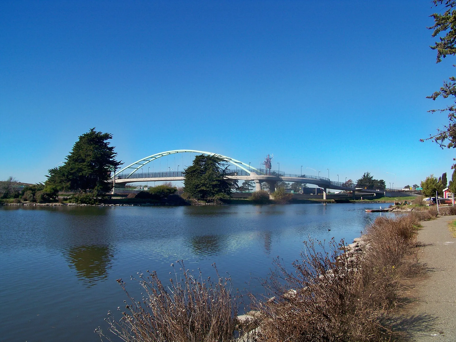 Aquatic ParkAquatic Park in Berkeley combines a long lagoon with tree-lined walking and cycling routes.
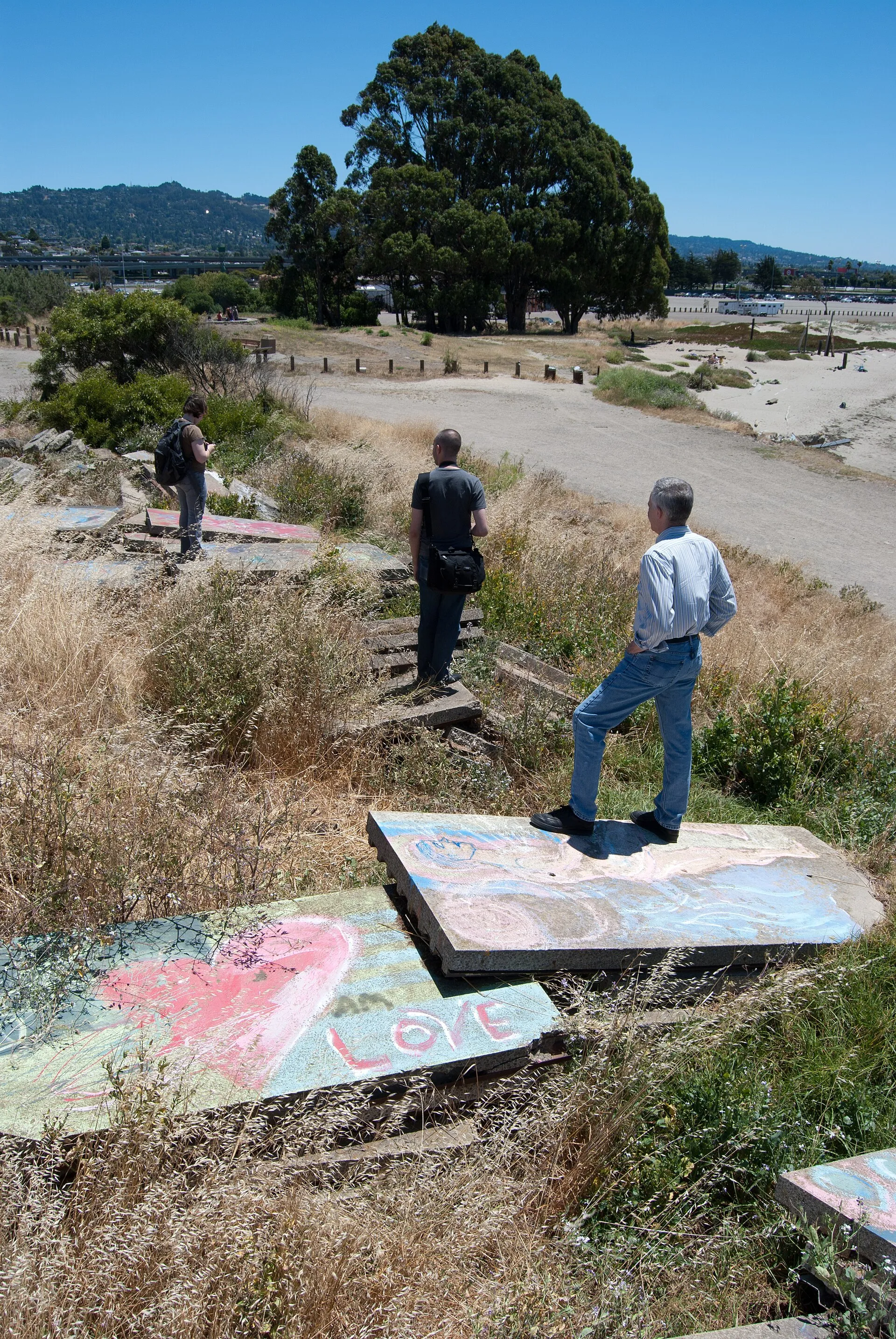 Albany BulbAlbany Bulb is an unusual San Francisco Bay shoreline landscape where trails, improvised art and volunteer vegetation occupy former construction fill.
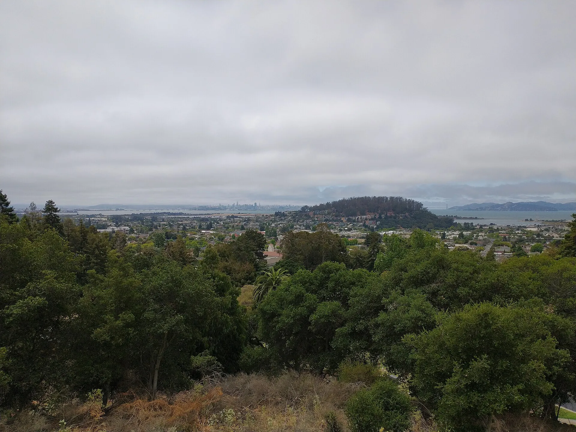 Albany Hill ParkAlbany Hill Park protects a wooded rise above the East Bay shoreline.
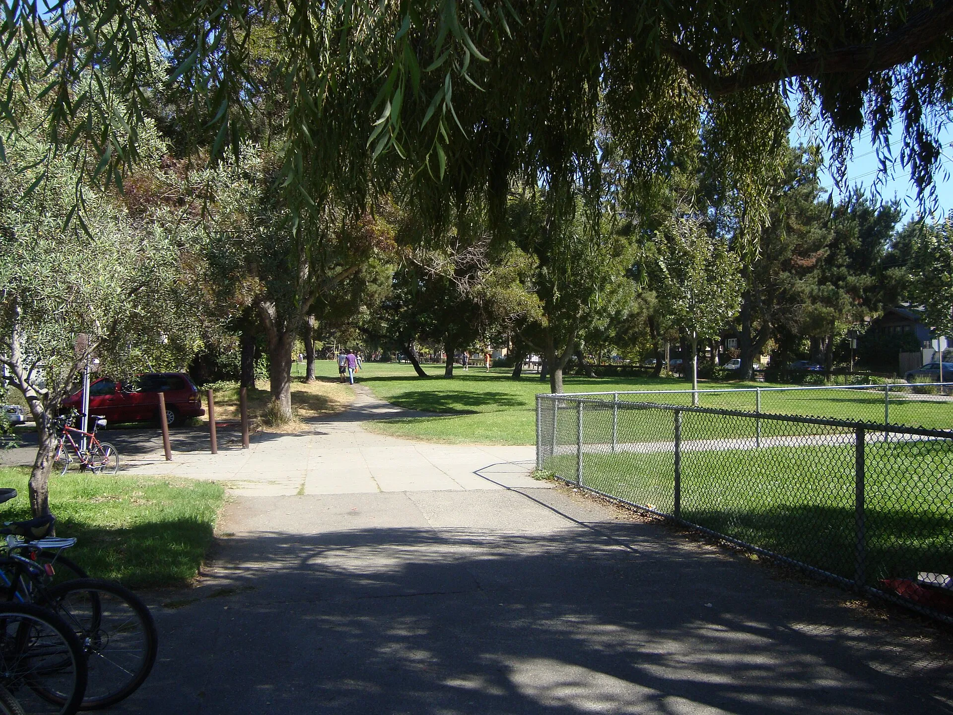 Ohlone ParkOhlone Park forms a long band of public green space along Hearst Avenue in central Berkeley.
Nearby ZIP codes
Sources & data notesReferences, reporting periods, and how to use this information
Information on this page is compiled from multiple sources and provided for general information. It may be incomplete or out of date, and we do not guarantee its accuracy, completeness, or timeliness. Independently verify important details with the original source, relevant authority, or a qualified professional before making decisions.
Statistics keep their reporting periods. Survey estimates are not current asking prices or quotes for an individual property. Displayed values are rounded.
- ZIP boundariesU.S. Census Bureau ZCTAsCensus ZIP Code Tabulation Areas approximate postal delivery areas and may cross city and neighborhood boundaries.
- Neighborhood footprints for ZIP overlapsCity-Defined Neighborhood Dataset v1.0 (CC0)Neighborhood footprints are approximate. Source polygons are combined where needed to calculate overlaps.